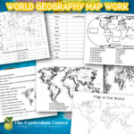
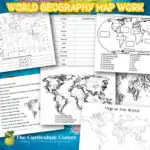
This world geography map work will help your fifth and sixth grade students practice working with world maps.
You can use this world geography map work for map practice in your classroom.
Students will work on different social studies standards using these printable pages.
This is another free resource for teachers and homeschool families.
Working with maps
The goal of these pages is to provide more than an opportunity for students to work on memorizing locations on a map. These pages were created to help students develop an understanding of how to work with maps.
Students will need to use their research skills to find reliable resources. They must then use this knowledge to complete each of the tasks.
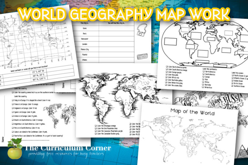
Not only will students work on finding where major cities are located, they will also practice labels the oceans and continents. Students will work on finding major mountain ranges. They will also practice find latitude and longitude on a map.
You will find the following printables in this download:
- World geography map work
- Labeling and coloring of the seven continents and of the oceans
- Color coding some of the major mountain ranges in the world
- Reading latitude and longitude
- Identifying the country where major cities are located
- Labeling a large map of the world using the checkoff sheet
Tip: I used larger paper when printing the blank world map and enlarged the print. This gave my students a map that was easier to label.
You can download this free set of printables by clicking on the green apples below:


As with all of our resources, The Curriculum Corner creates these for free classroom use. Our products may not be sold. You may print and copy for your personal classroom use. These are also great for home school families!
You may not modify and resell in any form. Please let us know if you have any questions.